On June 20, 2025, MethaneSAT mission operations lost contact with MethaneSAT. After pursuing all options to restore communications, we now believe it’s unlikely the satellite can be recovered.
While this is difficult news, it’s not the end of the overall MethaneSAT effort, or of our work to slash methane emissions. The pioneering science, technology and advocacy of this mission will continue.
MethaneAIR is a crucial innovation in EDF’s work to find and reduce emissions of methane, a potent, planet-warming greenhouse gas.
Through this project, EDF and partners deployed groundbreaking technology aboard a jet to measure methane pollution over wide areas with great precision.
Zeroing in on the oil and natural gas industry, we found that producers across the U.S. are emitting methane at rates far higher than the government previously estimated based on industry data.
MethaneSAT, a satellite we launched in 2024, will build on what we’ve learned through MethaneAIR to take this work global.
How our data will help hold polluters accountable
Cutting methane is a powerful opportunity to slow global warming and limit the worst impacts of climate change, from disrupted food supplies to extreme weather. But methane is invisible.
That’s where technologies like MethaneAIR and MethaneSAT come in. By revealing the sources of this invisible gas, they can help industry and regulators achieve faster, more effective reductions in emissions.
In 2023, MethaneAIR flew over regions covering more than 70% of onshore oil and gas production in the contiguous United States. Data from these flights showed that methane emission levels were over four times higher than U.S. Environmental Protection Agency estimates.
The levels of pollution observed by MethaneAIR would amount to 7.5 million metric tons of methane entering the atmosphere each year. That’s enough wasted gas to meet the annual energy needs of over half of U.S. homes.
The wide gap between real versus reported emissions shows why accurate, transparent measurements are needed to track methane pollution — and hold polluters accountable.
Did you know? Natural gas is mostly made of methane, a climate pollutant that is accelerating global warming. Methane has more than 80 times the warming power of carbon dioxide in the first 20 years after its release.
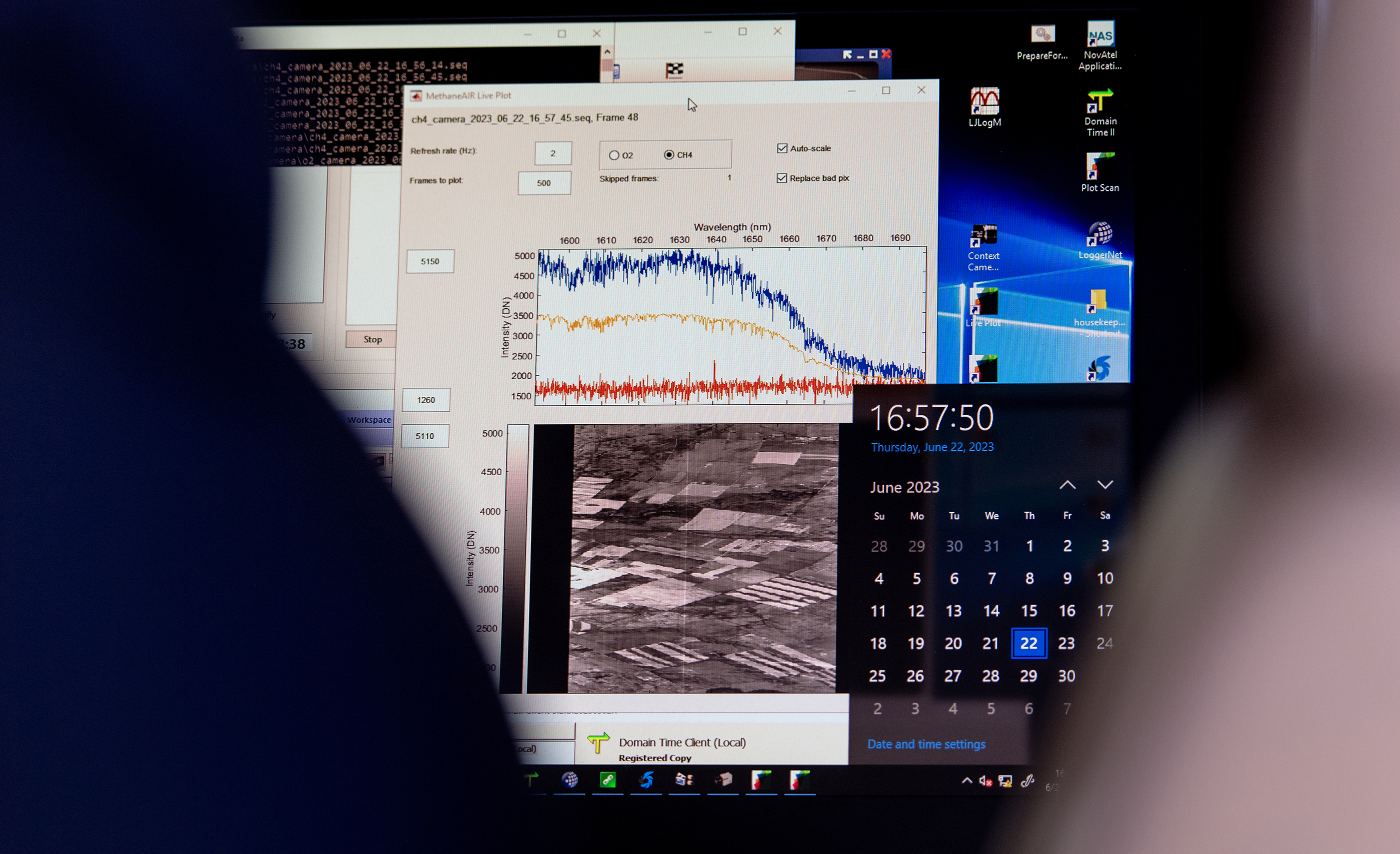
Scenes from a flight test of MethaneAIR. Clockwise from left: A staff member from IO Aerospace, the company that refitted the MethaneAIR jet, aboard the aircraft; data collection; and the spectrometers that help detect emissions.
Next up? Tracking methane pollution from space
Developed by scientists from EDF, Harvard and the Smithsonian Astrophysical Observatory, MethaneAIR has enabled our team to demonstrate and refine the revolutionary approach to methane detection that MethaneSAT will use.
Our technology is designed to measure methane precisely over wide regions like an oil and gas basin, a state or a country. Using our advanced approach, we’re able to provide data on a region’s total emissions — capturing contributions from sources large and small.
For the MethaneAIR project, we chartered a Learjet and equipped it to hunt for methane from high altitudes using instruments called imaging spectrometers. (EDF is carefully offsetting greenhouse gas emissions from the flights.)
MethaneSAT will use similar methods to map methane over even larger areas and rapidly make that data publicly available.
See how MethaneSAT is different from other methane-tracking satellites
How we got to this methane moment
MethaneAIR and MethaneSAT build on more than a decade of EDF driving action on methane.
With partners, we analyzed methane emissions in the world’s largest oil field; deployed methane detection sensors on everything from cars to cell phone towers; and helped put methane at the forefront of the global climate agenda.
Looking ahead, data from MethaneSAT will enable companies and governments to speed up emissions cuts. At this critical point in the climate crisis, there’s no time to waste.
Our MethaneAIR experts
Scientists from EDF, Harvard University and the Smithsonian Astrophysical Observatory partner on MethaneAIR. Meet some key EDF team members.
MEDIA CONTACT
Jon Coifman
(917) 575-1885 (office)


